
5 Best Hiking Trails in Vancouver

Some of the most incredible hikes in the world can be found near Vancouver Canada, and we are excited to share 5 of our favorites.
If you’re new to backpacking, or looking to upgrade your gear and don’t know where to start, check out our full Backpacking Gear Guide to make sure you’re well prepared. Here you will find information on the ten essentials, safety must-haves, and complete hiking checklists for your trip.
Let’s get started!
Our Responsibility
Through our platform, we hope to provide tools and help you create a connection with these wild places that fuels a shared responsibility to protect and cherish them. Together, we have the responsibility of taking care of the outdoors and leaving it better than we found it. Always respect and follow Leave No Trace principles. By committing to LNT, we contribute to the preservation of these landscapes, ensuring they remain pristine for future generations to come.
Tip: know your limit. Many hikes near Vancouver are difficult, and you are responsible for doing further research to confirm that these trails are accessible to you.

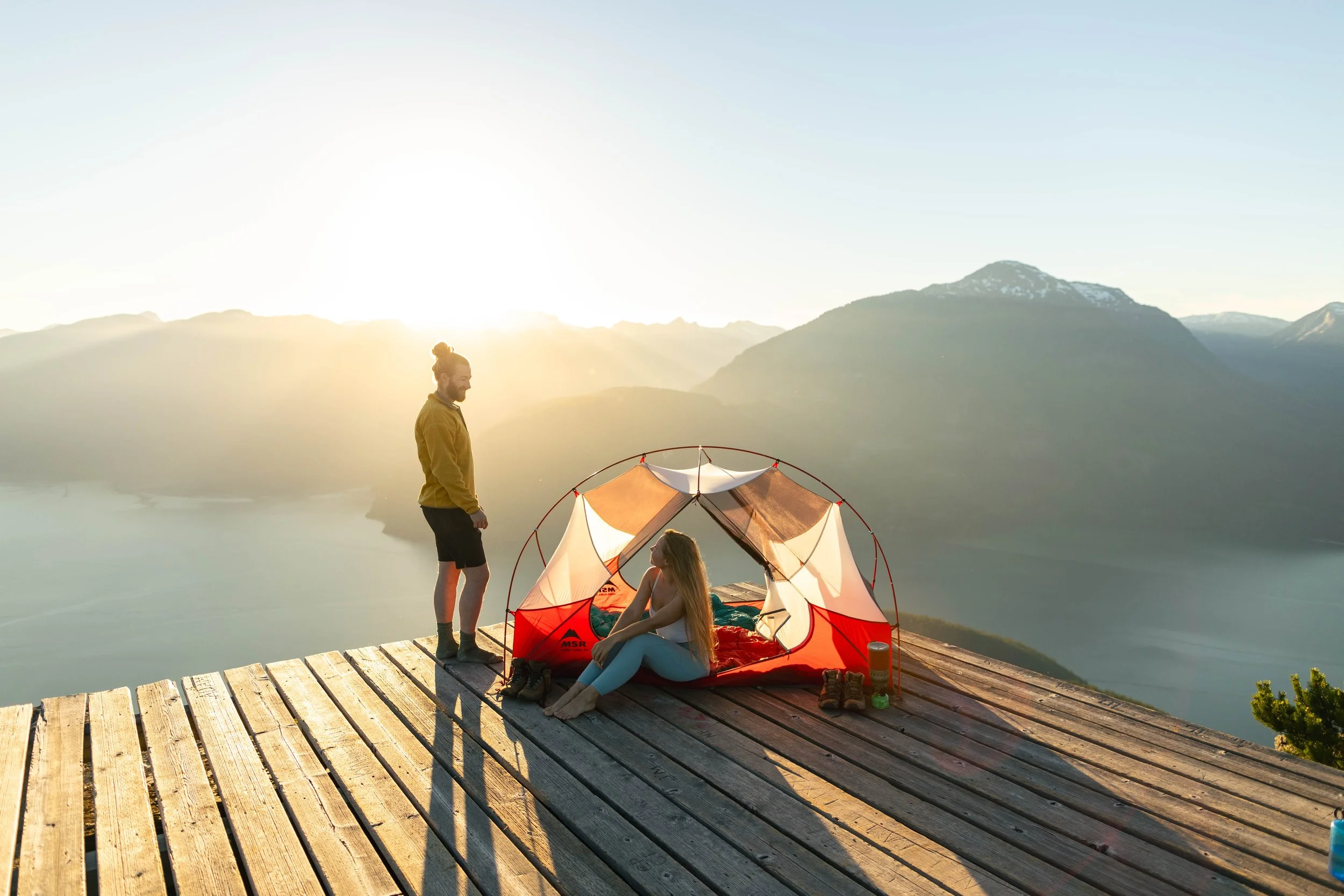
BRUNSWICK MOUNTAIN
Trail Difficulty - Challenging
Warning - this one is a real leg burner! Brunswick Mountain is the highest peak in the North Shore Mountains, rising to almost 1800m. The ascent to Brunswick Mountain's summit begins at the trailhead located near Lions Bay, a picturesque coastal community nestled along the shores of Howe Sound. From here, hikers set out on a challenging 1550m, 11-kilometer (6.8-mile) round-trip hike that winds its way through lush forests, alpine meadows, and rocky ridgelines.
Download the trail map here.
Tips for this trail:
Check the trail conditions before you go with recent reports. Being the highest mountain, Brunswick is generally the last to lose its winter snow, and you don’t want to be caught up there unprepared.
Check the weather. The weather can change very quickly up there, so double check it looks good before you go, and bring extra layers for the top.
Bring more food and water than you need. Given the steepness of the trail, you never want to underestimate how much you need.
Head out early, as the trailhead can get very busy. and ALWAYS tell someone where you are going and when you will be back. Have a GPS/SOS for emergencies.
LEADING PEAK
Trail Difficulty - Challenging
Leading Peak gives you unparalleled 360-degree views of the Howe Sound and the North Shore Mountains. A challenging but rewarding journey for those who are willing and up for the adventure. It is a boat access-only trail, that is difficult and very steep, gaining 1000m in 4.4km (one way).
Download the trail map here.
How to plan your trip
You MUST email admin@anvilisland.ca to gain permission to visit. They are very responsive and happy to accommodate. Make sure you pack out everything you bring and are aware of human waste disposal etiquette, especially if planning to camp overnight. Since this trail is private property, it may not be available to the public at certain times of the year, so you are responsible for researching accessibility beforehand.
There may be NO water along the trail. This means you need to be self-sufficient and carry your own water. There usually is a small pond near the top, but the water needs to be filtered properly.
Options to book your water taxi:
https://www.cormorantwatertaxi.com/destinations
https://mercurytransport.ca/
Tips for this trail:
Research the trail, check weather conditions, and be sure to pack essential gear such as sturdy hiking boots, plenty of water, snacks, and layers for changing weather.
Pace yourself; Leading Peak's trail is challenging, so take your time and listen to your body. Rest when needed and stay hydrated to maintain energy levels throughout the hike.


JOFFRE LAKES
Trail Difficulty - Moderate
Joffre Lakes offers a variety of hiking trails suitable for adventurers of all skill levels. The most popular route is the Joffre Lakes Trail, a moderately challenging 10-kilometer round trip that leads hikers past all three lakes. For those seeking a more strenuous trek, the park also boasts additional trails that lead to higher elevations, providing panoramic views of the surrounding mountains and glaciers.
Download the trail map here.
How to plan your trip
Around the summer months (May-October), you MUST book a free day pass. You will not be allowed on the trail without it, and there are rangers stationed in the parking lot to make sure you have one.
Tips for this trail:
Before embarking on your journey to Joffre Lakes, it's essential to come prepared. Here are a few tips to ensure a safe and enjoyable hiking experience:
Check trail conditions and weather forecasts: The weather in the mountains can be unpredictable, so be sure to dress accordingly and pack essential gear such as water, snacks, and extra layers.
Arrive early: Joffre Lakes is a popular destination, especially during the summer months, so arriving early will not only guarantee a parking spot but also provide the opportunity to beat the crowds and enjoy the tranquility of the park.
Leave no trace: LNT means also picking up the garbage you see. As with any outdoor adventure, it's crucial to practice Leave No Trace principles to minimize your impact on the environment and preserve the natural beauty of the park for future generations.


ICEBERG LAKE
Trail Difficulty - Challenging
A breathtaking 18km, 1000m out-and-back trail is located in the heart of Whistler, with gorgeous scenery and wildlife. This trail has both moose and grizzly and other large animals, so please hike in groups and check out these wildlife safety tips so you are informed on what to do when you cross paths with these beautiful creatures.
Download the trail map here.
Tips for this trail:
Dogs are not allowed.
Make way for mountain bikes on the trail.
Make sure you read the parking signs properly, or you may get towed.
You NEED a downloaded trail map. It is easy to get lost on the lower section. I recommend Maps.me app or AllTrails.
Prepare for any weather, tell someone where you are going and when you plan to return. Always carry bear spray.

GARIBALDI LAKE - PANORAMA RIDGE
Trail Difficulty - Challenging
This hike has it all - a gatorade blue lake, endless ridge lines with 360-degree views, and meadows filled with wildflowers. This 28km, 1600m out-and-back trail begins at the Rubble Creek Parking lot where a day use pass is necessary in the summer months.
Download the trail map here.
How to plan your trip
You MUST book a free day pass here.
This trail can be completed as a long day hike, or you can camp overnight by booking here. Reservations book up very quickly, so plan in advance.
Tips for this hike
Please make sure you are well prepared. I’ve seen far too many people do this hike with poor shoe choices (flip-flops are not good hiking attire). Not to mention there are wild animals here, it is steep, and there is no cell service. Please do your due diligence to be safe when visiting this park, and leave it better than you found it.
Dogs are not allowed.
Bring a water filter. There are plenty of points along the trail up until Black Tusk Lake. The last hour ascent there is no water.


Thanks for reading!
Hopefully these tips have helped inspire you to plan your next trip! Happy travels!


